

AZ-NV-UT Tri-State Monument in Mesquite, Nevada
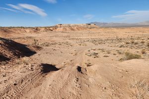
Many political boundaries in the western US, as around the world, were drawn along lines of latitude or longitude. This was convenient for politicians looking at maps, but it's much easier to draw a line on the map than to establish that line on the ground—particularly with 19th-century technology.
The mutual corner of Arizona, Utah, and Nevada is a case in point. In theory the boundary of Utah and Arizona is the 37th parallel of latitude, while the eastern boundary of Nevada lies along the meridian at 114° 2' W (or 114.03333 W in decimal degrees). This point was first surveyed in 1870 by Isaac P. James, described as an "astronomer and surveyor." The juxtaposition seems unlikely now, but astronomy was traditionally important to establishing positions on the Earth because latitude could be determined by measuring the angle of known stars above the horizon. Longitude, in turn, could be determined by the time of local noon (when the Sun is highest in the sky) versus the time of noon at a reference point, such as Greenwich, England. The problem was that such measurements were difficult in a survey carried out on horseback under primitive conditions. Longitude in particular, which depended on precise measurements of time, was subject to large errors.
For such reasons this point was resurveyed in 1900 and found to be in significant error, with the James monument at the 37th parallel being 111.51 chains too far north. (A "chain" is 66 feet, so there are 80 chains in a mile. In other words, the location was nearly 1.5 miles too far north.)
The 1900 resurvey (monumented in 1901) was a considerable improvement over the original James survey, but over time it became clear that it was still a bit off. At a surveyors' convention in 2016, the Utah Council of Land Surveyors proposed re-monumenting the Tri-State Monument, in collaboration with the state survey societies of Arizona and Nevada. This proposal met with enthusiastic acceptance and the tri-point was resurveyed with new technology: GPS with sub-centimeter accuracy. The 1901 monument was removed (it is now on display in the Washington County Administration Office in St. George, Utah) and the current one constructed. Presumably further resurveys will not be needed!