

Window Rock in West Wendover, Nevada
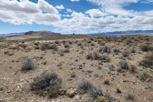
Lake Bonneville was an enormous Pleistocene lake that covered much of western Utah, extending into the edges of adjacent Nevada and Idaho, during the height of the last Ice Age. It reached its maximum extent and depth about 17.5 KYBP (thousand years before present). The lake eroded what's now called the Bonneville Shoreline at this level, around 5100 feet above present sea level. At its highest point the lake then overflowed over Red Rock Pass, now in Idaho, so that an enormous flood poured down the Snake River drainage and ultimately into the Pacific via the Columbia River. As the outflowing water eroded a channel, the level of Lake Bonneville dropped, overall dropping about 410 ft to around 4750 feet above mean sea level, where the downcutting channel finally encountered resistant bedrock. This stabilized the lake level, and a well-defined shoreline, the Provo Shoreline, was eroded around this elevation. In fact, a river seems to have flowed out this channel into the Snake for about a thousand years, acting as the outflow for Lake Bonneville. Eventually, though, as the climate dried the level of Lake Bonneville dropped below the outlet level.
As might be expected, a lake dozens of miles across and hundreds of feet deep could erode shoreline features at a scale more typical of an ocean than a lake, and that's what happened here. Window Rock is a large wave-cut arch like those commonly seen along shorelines today--except it's high and dry atop a ridge. But thousands of years ago this ridge was awash in surf that carved the arch. Window Rock is at an elevation of about 4839 feet, so it must have been eroded before the lake level dropped to the Provo Shoreline.